|
Place Year Type of disaster N. affected people |
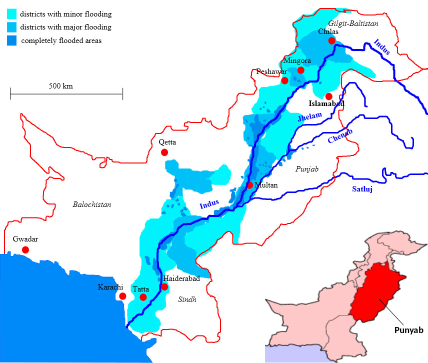
Pakistan (Asia) 2010 Floods 20 million |
 |
|
Brief description: Pakistan suffers from severe flooding due to monsoon rains. |
||
|
Mission: The mission takes place in the southwest Punjab region, which was the most populated in the country and one of the most affected by floods. Three towns have 1,500 tons of humanitarian aid available for distribution: Taunsa (300 tons), Multan (750 tons) and Janpur (450 tons). The objective is to distribute 1,000 tons of this humanitarian aid to an extensive area where the affected population is located in dispersed villages. A budget of $1.5 million (USD) is available for the operation. |
||
|
Network: The network is composed of 41 nodes and 53 symmetric arcs (106 directed arcs). Note that the reduced number of arcs is due to the large number of damaged roads near the Indus Valley. Three of the 41 nodes are supply nodes (Taunsa, Multan and Janpur, numbered as 1, 2 and 3, respectively); there are 26 demand nodes and 12 transshipment nodes. |
||
|
Data: Available here. |
||
|
Data sources: The Logistic Cluster website provides most of the data. The map corresponds to the one published on September 20th (elaborated on September 17th), entitled Map-Road Conditions-SW Punjab Province as of 17 September 2010 and available online, The Logistic Cluster website, the IFRC website and media sources such as The Guardian’s website provide situation reports and concept operations. |
||
|
Tested in: The test case was built as the final degree project of (1) and studied extensively in the Ph.D. thesis (2). A mathematical model testing the case has not been published to date.
|
||